Regulatory Compliance
To maintain individual and corporate compliance and licensing with multiple government agencies and jurisdictions is a daunting task. By accurately recording and mapping all aspects of a program, maps can be used to assure regulatory compliance and streamline requirements for initiatives like NPDES permitting.
Inventory Management
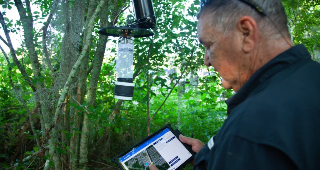
When ULV application equipment is coupled with GPS tracking units and on-board GIS monitoring systems, accurate chemical use is recorded. This allows program managers to know exactly how much adulticide is being used during every spray mission, which in turn provides them with the data they need to manage their product inventory efficiently. In larvicide applications, GIS data provides accurate area measurements so technicians know how much product to apply at any given site and managers know how much product they need to have on hand to treat all the sites in their program.

Public Education
By mapping public health risks, associated with disease monitoring in mosquito populations, GIS can support a community’s efforts to communicate if there is a mosquito-borne disease concern in a given area.
Emergency Response
Federal, state, and local governments use GIS to aid in emergency response efforts. GIS has played an integral role in controlling mosquito outbreaks after tropical storms, hurricanes, and intense flooding.
![]() Since 1992, Vector Disease Control International (VDCI) has taken pride in providing municipalities, mosquito abatement districts, industrial sites, planned communities, homeowners associations, and golf courses with the tools they need to run effective mosquito control programs. We are determined to protect the public health of the communities in which we operate. Our mosquito control professionals have over 100 years of combined experience in the field of public health, specifically vector disease control. We strive to provide the most effective and scientifically sound mosquito surveillance and control programs possible based on an Integrated Mosquito Management approach recommended by the American Mosquito Control Association (AMCA) and Centers for Disease Control and Prevention (CDC). VDCI is the only company in the country that can manage all aspects of an integrated mosquito management program, from surveillance to disease testing to aerial application in emergency situations.
Since 1992, Vector Disease Control International (VDCI) has taken pride in providing municipalities, mosquito abatement districts, industrial sites, planned communities, homeowners associations, and golf courses with the tools they need to run effective mosquito control programs. We are determined to protect the public health of the communities in which we operate. Our mosquito control professionals have over 100 years of combined experience in the field of public health, specifically vector disease control. We strive to provide the most effective and scientifically sound mosquito surveillance and control programs possible based on an Integrated Mosquito Management approach recommended by the American Mosquito Control Association (AMCA) and Centers for Disease Control and Prevention (CDC). VDCI is the only company in the country that can manage all aspects of an integrated mosquito management program, from surveillance to disease testing to aerial application in emergency situations.